
Oh, it was a glorious day when I found this place!
These scenes all come from a single neighborhood, on Chicago's northwestern fringe. Most of the area is in Chicago proper, with a chunk belonging to the suburban municipality of Norridge. The area consists of three half-mile squares bounded by East River Road on the west, which curves into Montrose on the south, Bryn Mawr to the north, and Cumberland Avenue on the east.
For some reason, one of the most difficult things to find on the internet is a map that clearly shows municipal boundaries. Google and Bing are both equally useless in this regard. I'm fairly certain about the Chicago/Norridge part, but some of this area may be in a township or village or city or Chicago neighborhood (or all four) called Harwood Heights. A town or neighborhood called O'Hare might also be involved.
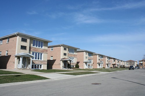
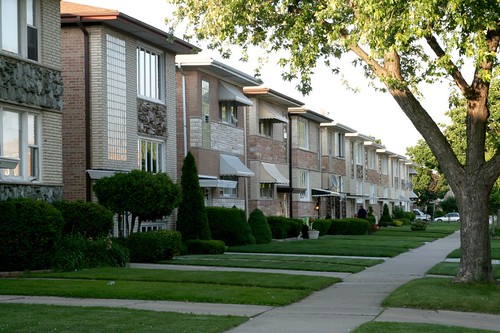
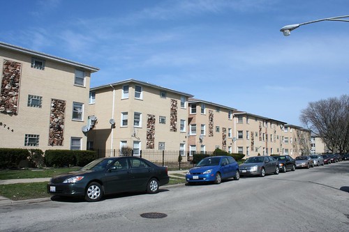
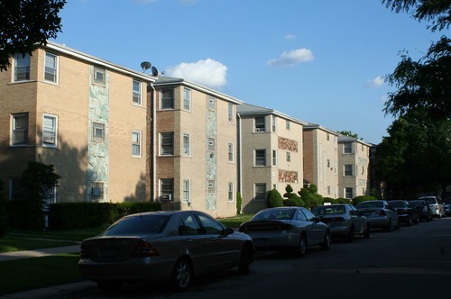
What I can tell you, without qualification, is that this is the largest and most amazing MidCentury neighborhood in Chicago.
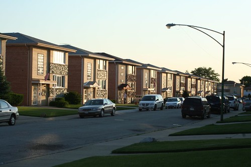
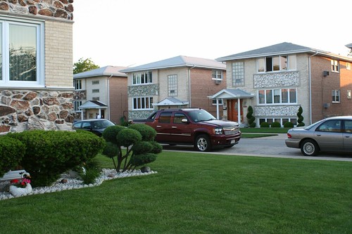
If you want to educate someone on MCM Chicago in just five minutes, take them here. It has all the essentials: the glass block. The 3-flats. The 6-flats. The raised ranch/bungalows. The door handles. The blonde brick. The wood pattern doors. The garage door designs. The metal railings. It's even got split-level ranch houses. And it has all this in droves. Entire blocks were constructed to identical plans, then festooned with all the varied decoration that 1960s Chicago could muster. The result: a bizarre landscape of endless repetition and endless variety. Every building is alike, yet no two are alike.
Perhaps the most amazing part is that, from what evidence I've been able to gather, this incredibly unified neighborhood was designed and built by a multitude of unrelated architects and contractors. I would have expected to find one giant firm churning out the same plan again and again. Of the 10 or 15 addresses for which I have an architect or builder's name, there are almost as many designers' names attached. Certainly single builders put up runs of buildings, perhaps even entire blocks, but no single entity guided the creation of the area. I am still researching this and will have a more detailed post soon. Ish.
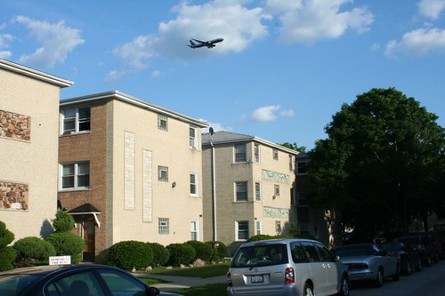
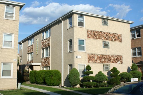
The bulk of the area went up in the mid- to late-1960s, though there is some indication that the construction continued into the early 1970s.
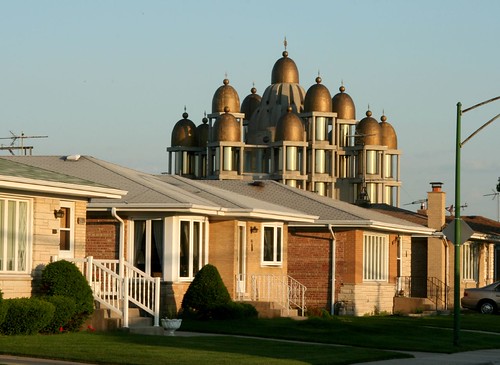
Again, that's St. Joseph the Betrothed Ukrainian Greek-Catholic Church in the background there, another future post topic. Promise!
2 comments:
Have you ever seen a mid-century modern residential pattern book? I've been looking for something that graphically analyzes typical subdivision design, building placement, building types, and decorative detail.
maps with municipal boudaries (and lots of other neat maps): http://maps.huge.info/
Post a Comment